Info︎


Urban Underlays
USGS Digital Elevation Model (DEM)Ongoing
Research
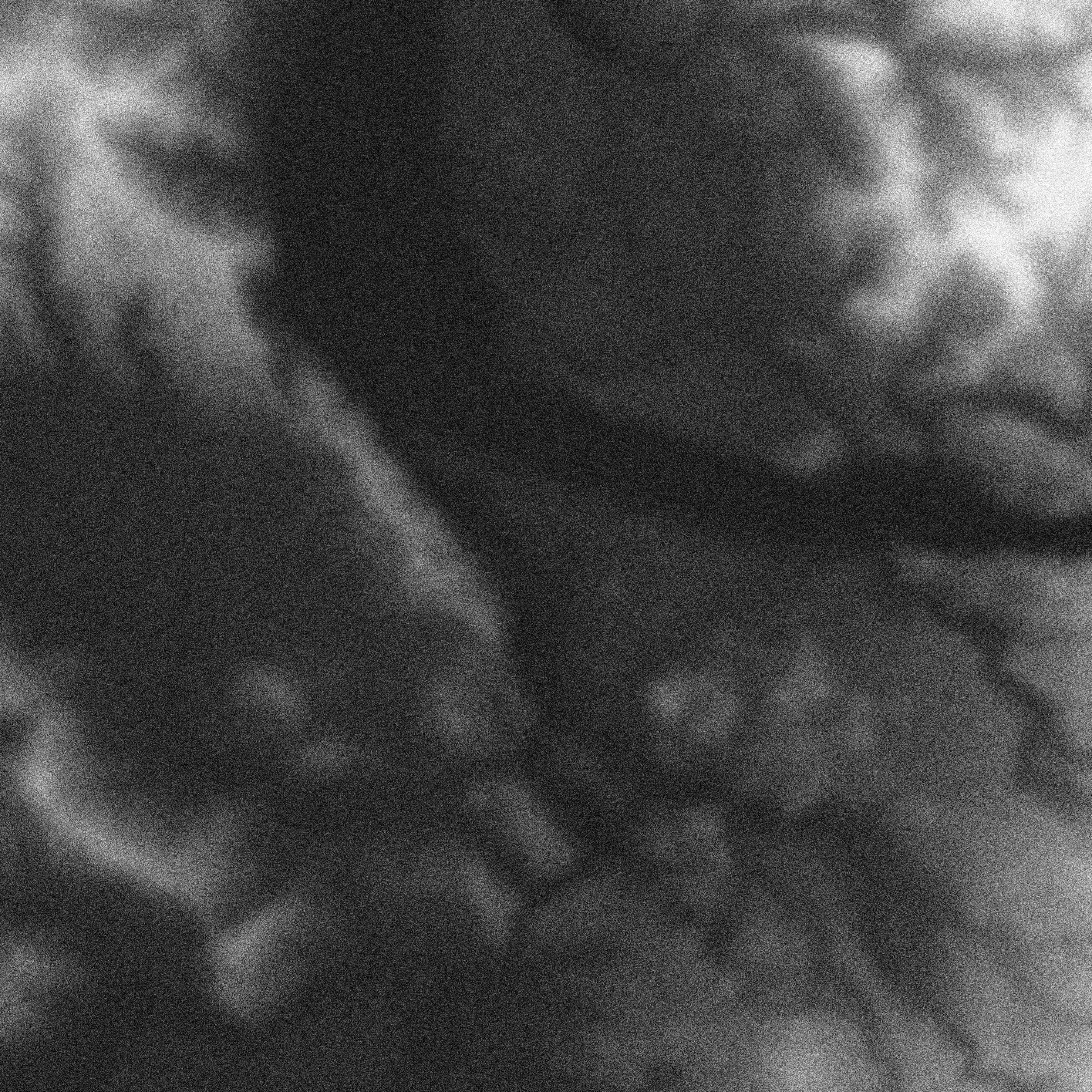
Cities are most often recognized for their skylines, or what lies above the surface. This project seeks to subvert that ideology, and reveal the surface itself. Digital Elevation Models (DEMs) are a pattern of regularly spaced elevational values tied to a grid cell produced by the highest quality elevation data held by the USGS. By coding the raster data as a spectrum from high point to low point, white and black, respectively, new relationships and realities are acknowledged between the natural and constructed surfaces of urban areas we live in today.
These maps are available for order, please contact for pricing.
Projection: Lambert Conical Area (Site-Specific Variants)
Data: USGS Digital Elevation Model (DEM), 2021
Scale: 1:50,000
© Alek Tomich_ New York, NY